Up, Down, Up, Down, Left, Right, …
Looking at the map it might become clear real quick that this route might be a little bit mad. Although it’s not 1000 climbs, it’s still the good number of 14. Agreed, not a single one of them is particularly long, but most of them are steep, a few are very steep and some are actually borderline steep.
Although there are “only” 135 kilometers to be covered, those 2’800 meters of climbing are done in a way that they’re most likely going to hurt. Such a punchy tour is very hard to pace, as these little hills seem like not that hard and they’re extremely inviting to be ridden at an unreasonable pace. Granted, three, four, five, six climbs can be ridden fast, but I promise, if 14 of these climbs are ridden at tempo or threshold you will be in for a tough ending. So, start out easy and leave something in the tank!
This version of the route starts in Freienstein, but since it’s a loop, the starting point can be moved to Kloten as well. It would also be easy to join this route coming from Winterthur.
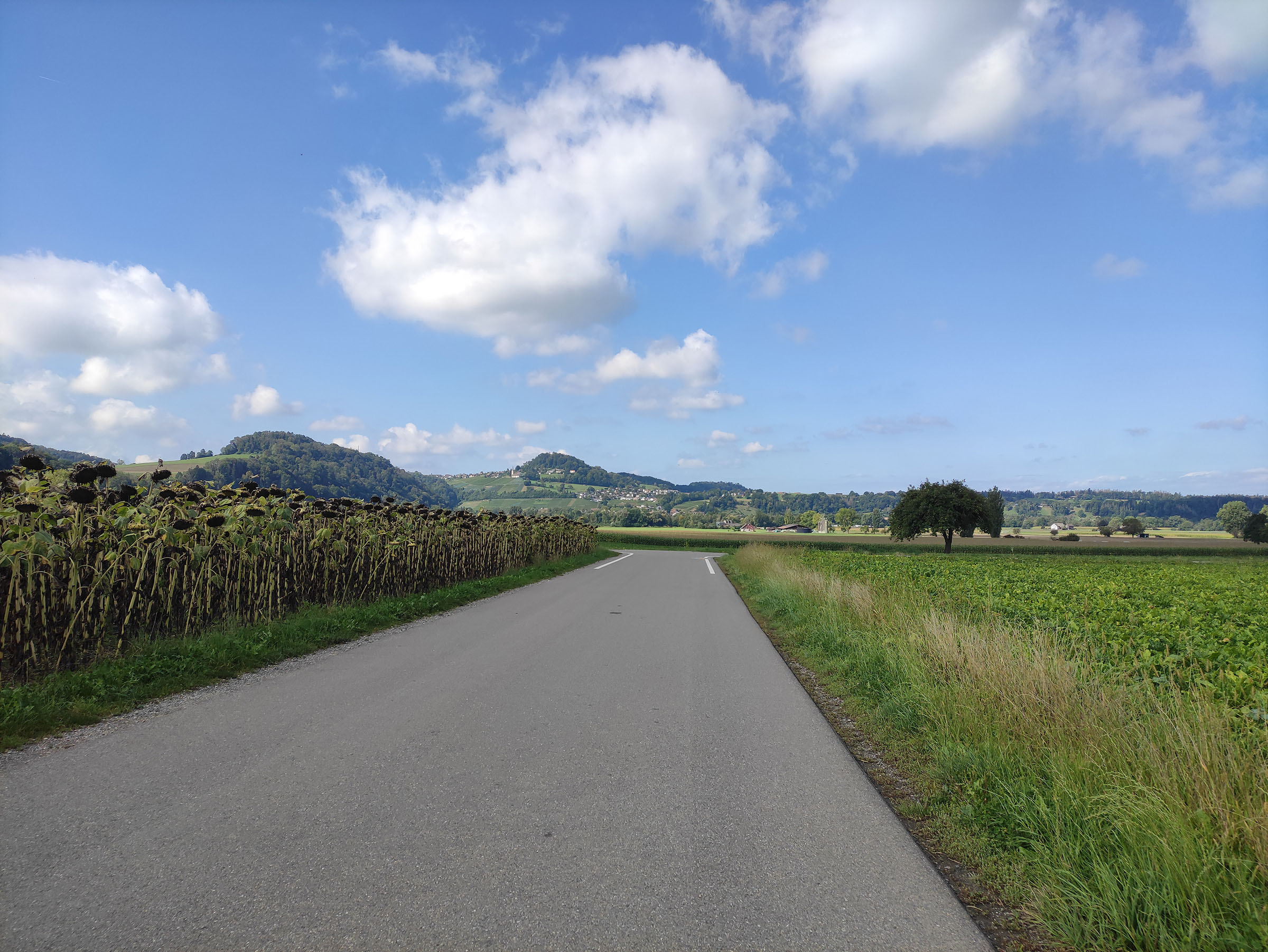
Along the way you’ll pass through a number of gorgeous small twons in the “Züri Wyyland”. Restaurants, bakeries or coffee shops will never be far. I’d recommend having a break in Eglisau either at ViCAFE or Vivi Kola Bar.
Stats / Difficulty
Distance: 135km
Elevation gain: ~2’800m
Duration: 6 – 7h
Endurance level: Medium to Expert
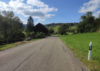
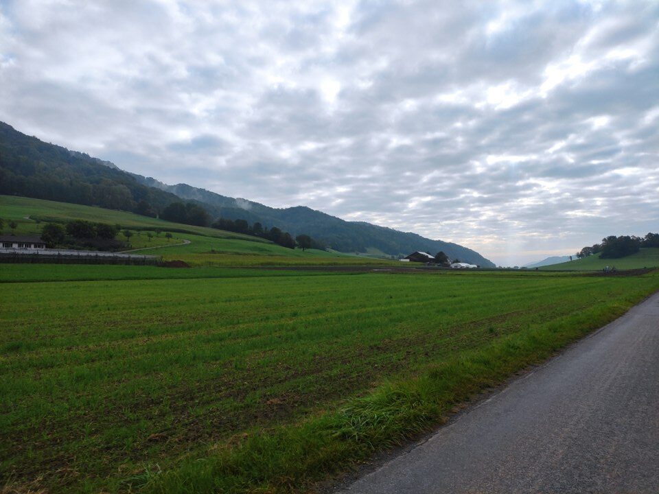
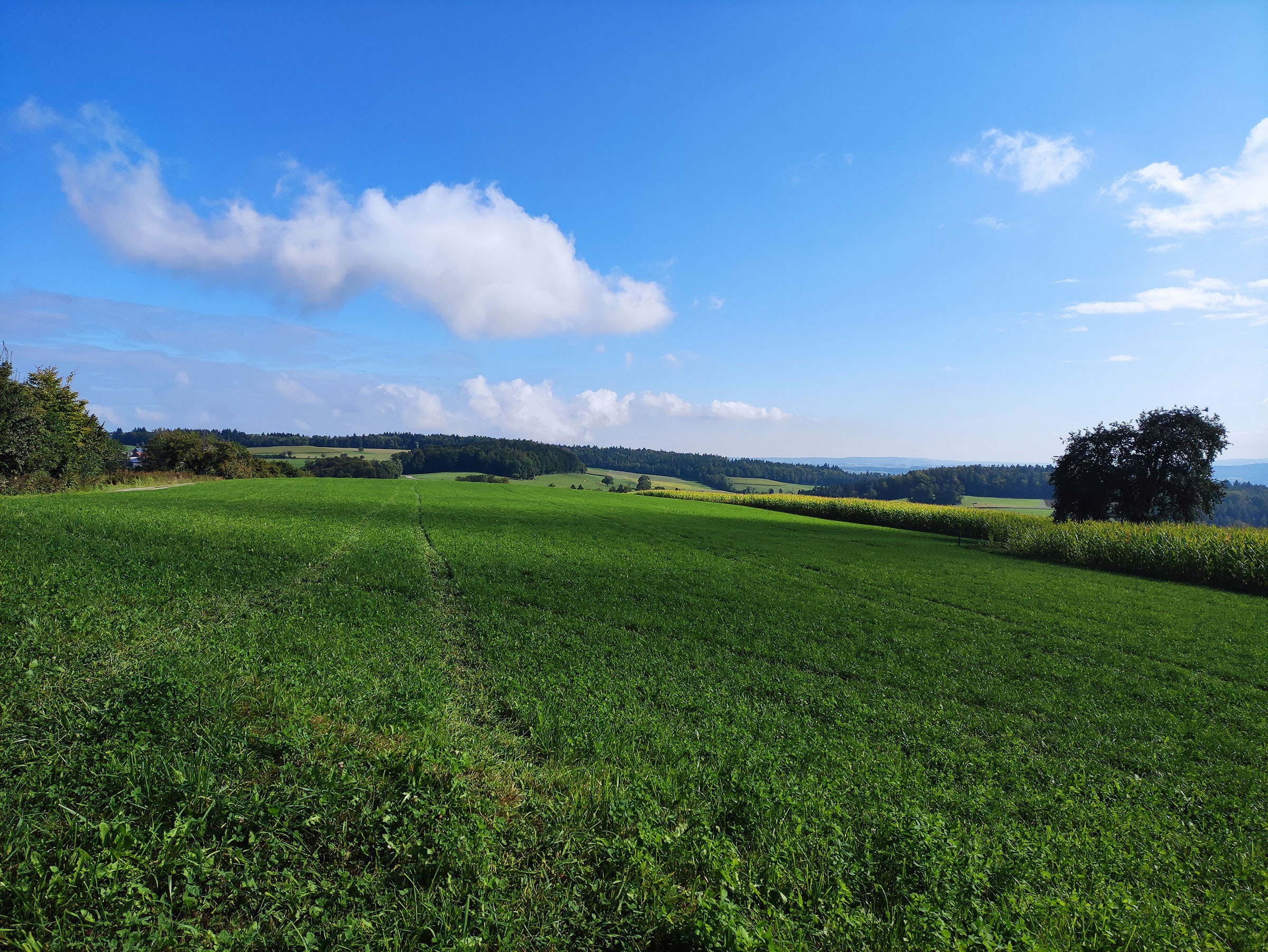
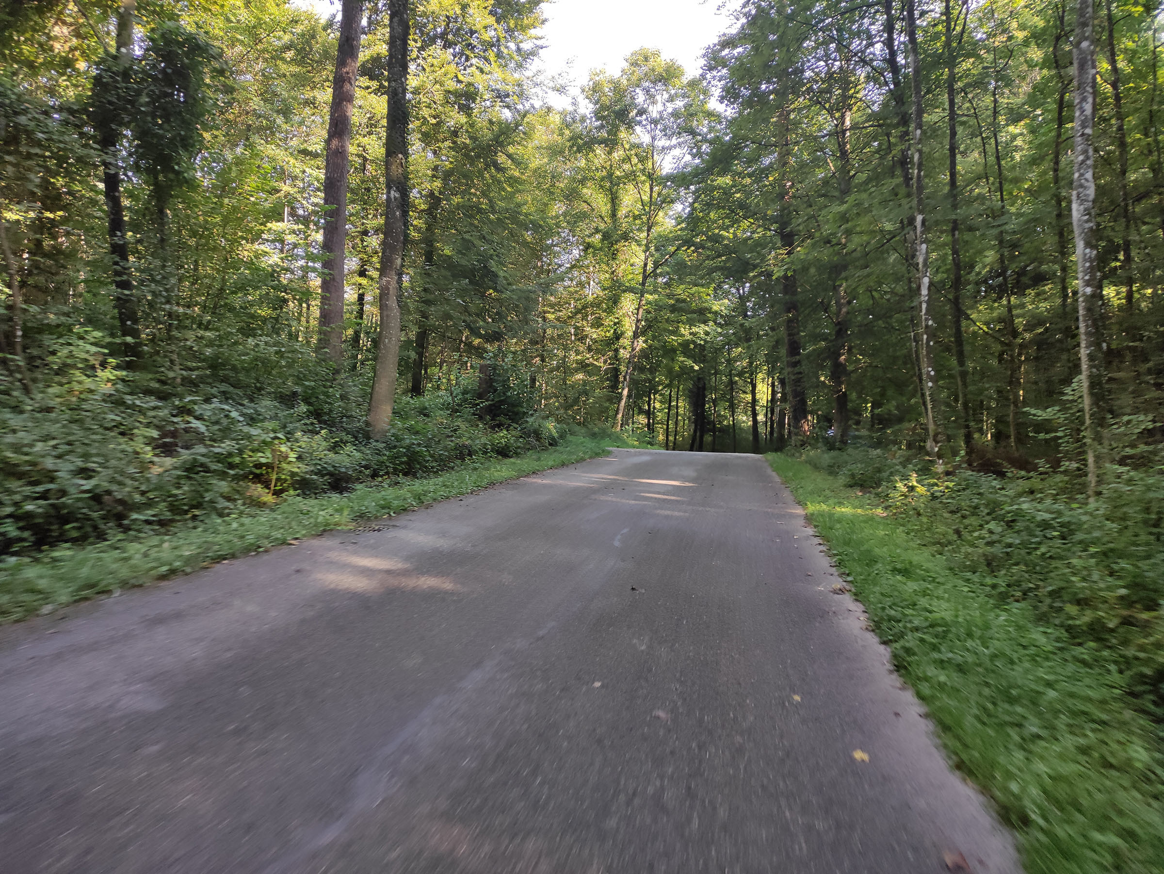
Impressions

Map
GPX Download
Download GPX – 1000 Hills of DoomYou can import the .gpx file into any one of your prefered apps such as Strava, Komoot, Garmin Connect, … and change the route from there if you’d for example like to start from another location.